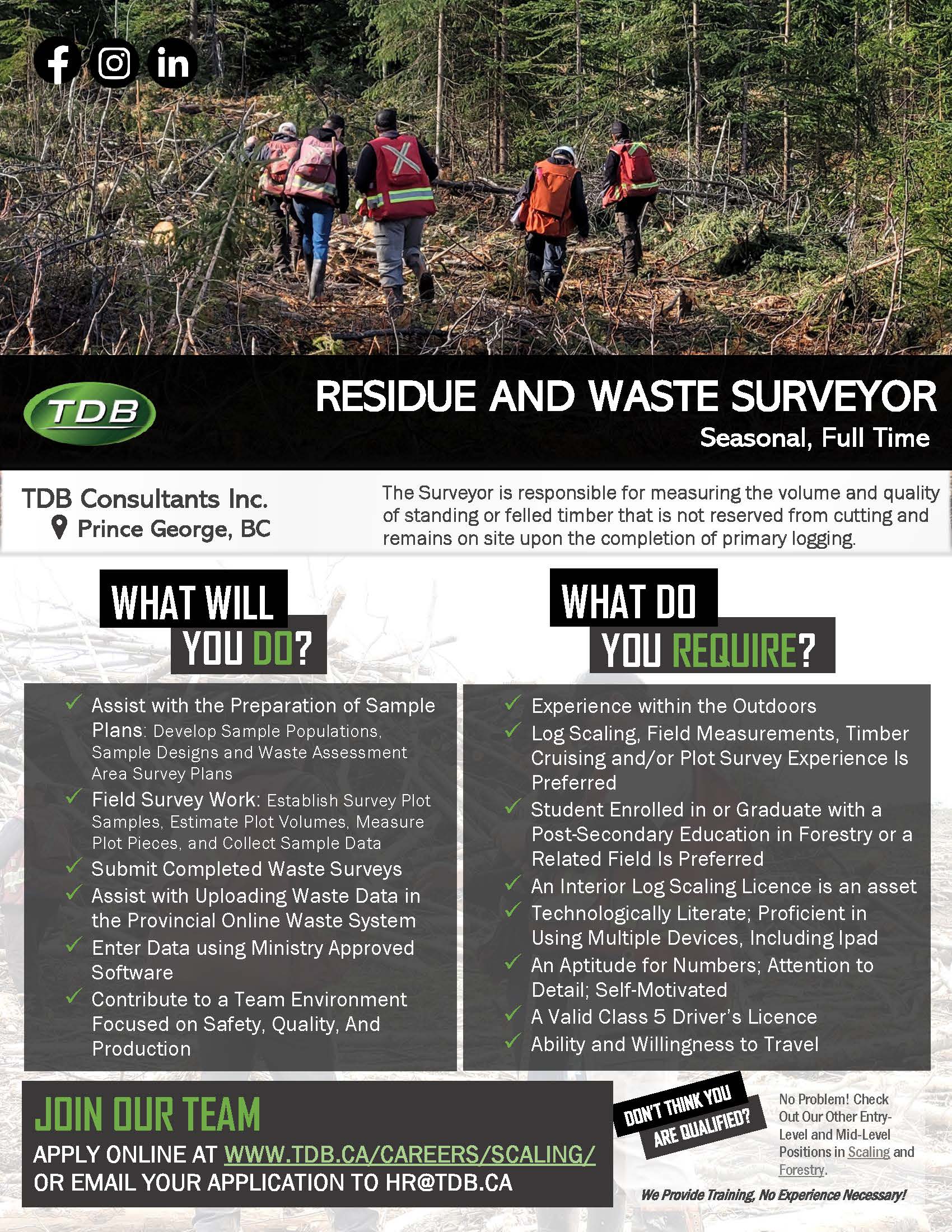
You look at your desktop clock, only 2 hours left until the project deliverable that you have been working on for the past few months is due. Taking a deep breath, you re-focus and think of what your co-workers were dealing with in the field as they GPS’ed the class 6 stream down a 80% slope that you are now seamlessly buffering as a Machine Free Zone or as part of a Wildlife Tree Patch. Your GIS challenges draw you into a surface coding quagmire of LiDAR point data. Though your brow is furrowed, you can’t help but feel a sense of overwhelming passion for GIS. Your love your job and all its stresses. Skillfully, you begin overlaying your maps and datasets and query them in terms of their spatial relationships to each other. Your map begins to come to life – displaying geographical features such as rivers, forest block boundaries, and creeks and streams. You relax, beaming to yourself as your review your final product and marvel at the fact that your maps will act as a valuable resource for resource management professionals to make key decisions about wildlife habitat, harvest strategies and most importantly, sustainable resource management.
Geographical Information System (GIS) is a technology that is used in the natural resource management decision-making processes to analyze cumulative effects of multiple interests by developing tools and producing data to help planners understand how to create value from both extracting and preserving resources in an ongoing effort to improve natural resource management. You will contribute to the decision-making process by processing collected field data, creating digital maps and building and maintaining databases that will determine best practices for forest monitoring, protection, harvest, conservation and rehabilitation.
Throughout your GIS career at TDB, you will be given opportunities to advance your knowledge and skills to endure an ever-evolving discipline and keep pace with the rapid advancement of technology. TDB will provide you with the training needed to work in the industry and use it’s applications and software.
With regular feedback and attainable performance targets, TDB will foster the promotion of workplace growth through career development and learning opportunities not only in GIS, but also in a complimentary area of expertise such as remote sensing, surveying, CAD, programming and database management. You will develop professional practice skills and if you meet eligibility requirements, sponsorship for professional certification may be presented to you. A career in GIS at TDB will allow you to be immersed in a field where you can continually grow and move forward in an environment of lifelong learning.
As new and innovative technologies weave their way into GIS, TDB is looking for well-rounded, tech-savvy individuals who are interested in applying GIS to environmental solutions. Candidates will demonstrate a blend of creative and critical thinking skills and will possess a technical and analytical acumen to understand complex information and how different sets of information relate to each other to produce solutions to practical, hands-on problems.
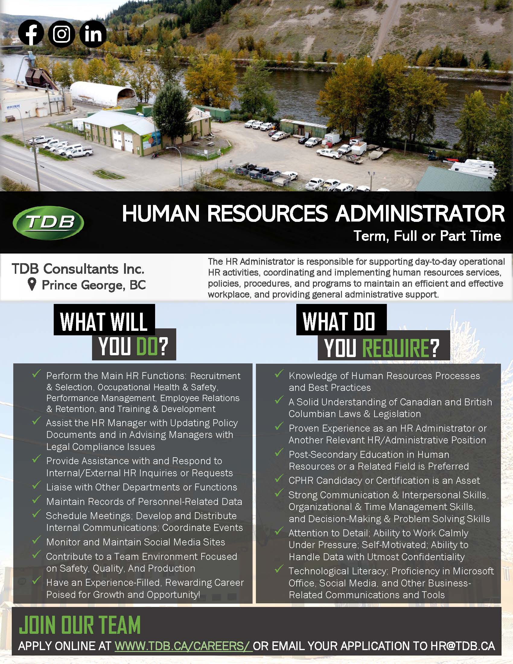
We are looking for results-oriented individuals who have effective planning, time management and organizational skills with a keen eye for detail. Candidates must be able to remain calm under pressure and listen and respond effectively to colleague and client needs. Candidates schedules must be able to accommodate occasional weekend work when important deadlines are approaching. Travel for field work is possible and may be required.